NZ 2011day by day
-12- The Catlins
Early morning start.
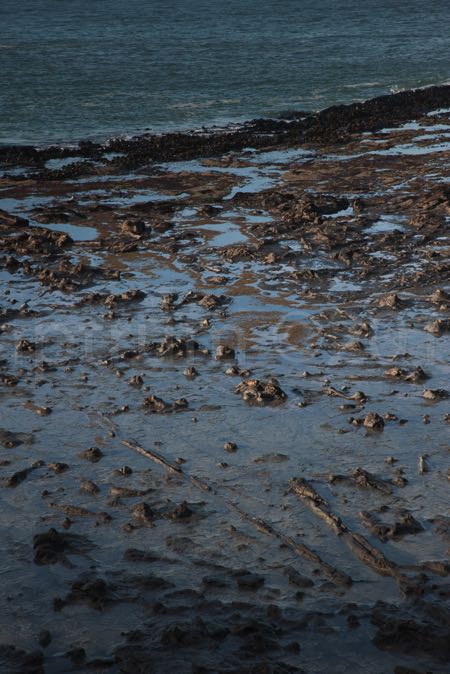
Curio Bay’s petrified forest is dependent on the tide. It should be low tide, otherwise the forest is an underwater experience.
Tide was low at 10:30 am and Curio Bay is 100km away from Invercargill. And morning driving should be handled with care. Mornings show icy roads now. Not to forget these are country roads, no cleared motorways as in Germany or in UK (?).
On the way to Curio Bay some nice morning light shots also showing the over frozen dew on gras.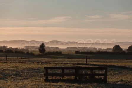
***
Curio Bay is an experience. Somewhat disappointing, but if you think about the facts that’s how a petrified forest should look like. Flat laying trees and root stumps make the scene.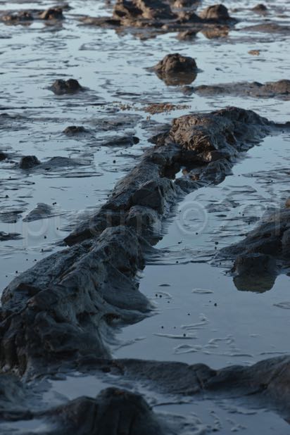
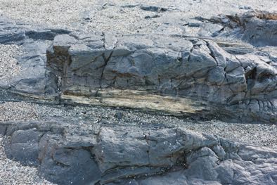
The descriptions explaining the scene have been very educating and interesting. Petrification is not a process of years but month (at least in the case of Curio Bay).
Volcano ashes is high silica that settles in the mud. The trees are taking the „water“ from this mud. Silicium gets into the trees. Voila - „stoned“ trees. ![]()
BTW Curio Bay is almost the most Southern Point of the Southern Island. Only 13km away is Slope Point. Between Slope Point and Antarctica’s South Pole there is a distance of 5000 km.
***
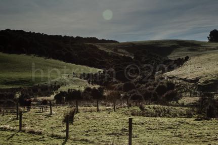
The Catlins are rolling hills, mostly. Also the ever present rain forest occurs in around the back of some hills. The valleys are wider and the mountains not high and not steep. A contrasting scenery to Milford.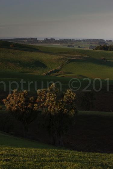
A former farmhouse. Burned down. The chimney is still standing upright. Cattle is grazing around the place.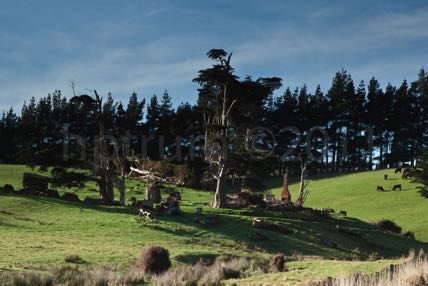
***
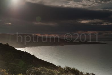
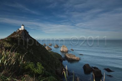
On the way to Dunedin a stop over at Nugget Point. A light house and some stones named nuggets.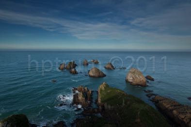
***
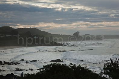
Some Catlins costal shots.